The Transition to Polygons
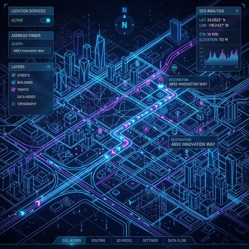
Historically, a postal code was just a line on a paper map. Today, digital mapping platforms like Google Maps and Mapbox render postal codes as precise digital polygons. These geographic boundary files allow developers to visualize demographic data, map out delivery territories, and perform spatial analysis with incredible accuracy.
APIs and Real-Time Verification
Modern applications rely on Postal Code APIs to auto-complete addresses for users. When you type '90210' into a form, a digital map database instantly pings back 'Beverly Hills, California.' This reduces friction in online checkouts and prevents database corruption caused by user typos.
Bridging the Physical and Digital
As we move towards a world filled with autonomous vehicles and augmented reality, the postal code serves as the crucial bridge between physical addresses and digital coordinates. It proves that a numerical system invented in the 1960s is still entirely relevant in the era of spatial computing.