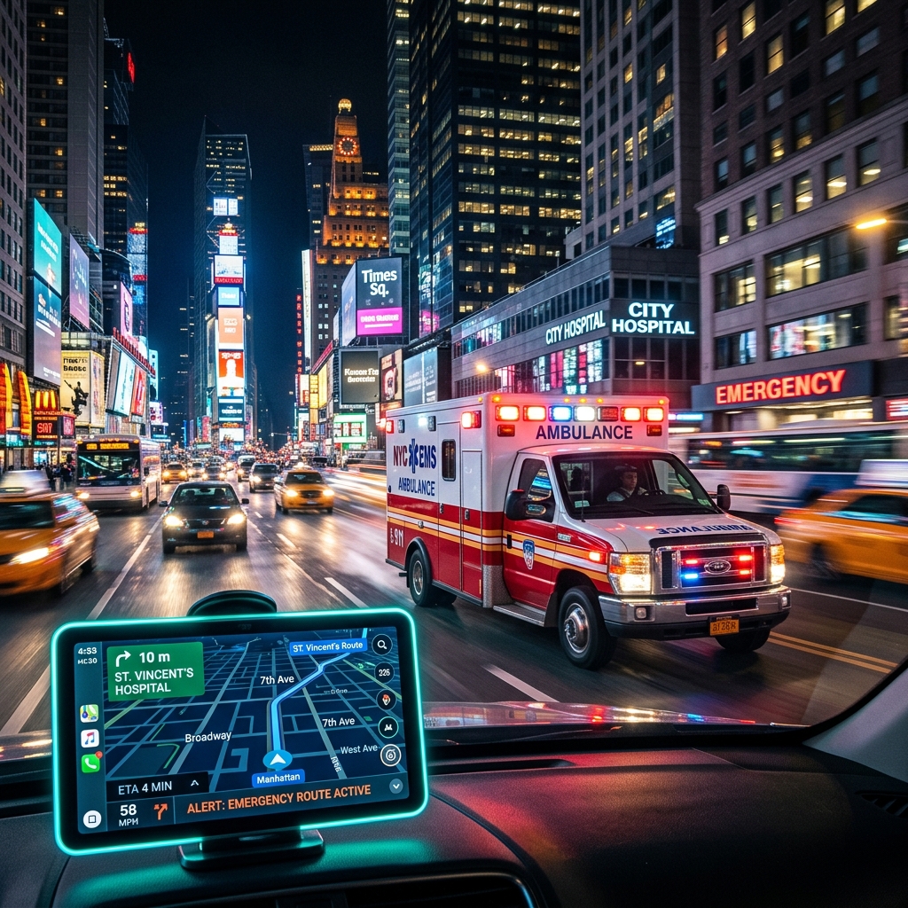
The Race Against Time
When you dial emergency services for an ambulance, police, or fire department, the dispatcher's primary goal is to locate you instantly. While GPS tracking on smartphones has improved dramatically, emergency dispatch systems (like 911 or 999) still rely heavily on verified postal addresses and zip codes to accurately route first responders.
Overcoming Address Ambiguity
Imagine living on "Main Street." In many large metropolitan areas, there could be three different "Main Streets" in neighboring suburbs. If a caller is panicking and gives an incomplete address, the postal code acts as the ultimate tie-breaker. It instantly narrows down the search radius from an entire city to a specific neighborhood block.
E-911 and GIS Integration
Modern emergency response utilizes Geographic Information Systems (GIS) that overlay postal code boundaries with real-time traffic and responder locations. Ensuring that your residential or business address is correctly mapped with the official postal code ensures that automated routing algorithms don't send an ambulance to the wrong side of the county.