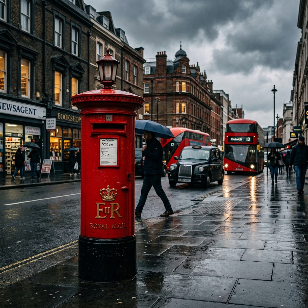
A Masterpiece of Alphanumeric Design
While most of the world relies on purely numeric postal codes, the United Kingdom utilizes a complex, alphanumeric system that looks like a secret code to outsiders (e.g., SW1A 1AA). Introduced systematically between 1959 and 1974, this format is highly regarded as one of the most precise postal systems in the world.
Breaking Down the Code
A UK postcode is divided into two parts, separated by a space. The first part is the "Outward Code," which directs the mail to the correct regional sorting office. The letters represent the city or region (like 'L' for Liverpool or 'SW' for South West London), followed by numbers for the specific district. The second part, the "Inward Code," sorts the mail at the local office down to a specific sector and a delivery point—usually representing just 15 properties!
More Than Just Mail
In the UK, the postcode is ingrained in daily life. It is heavily used for GPS navigation (SatNavs), calculating car insurance premiums, determining school catchments, and analyzing demographic data. A single UK postcode holds a wealth of geographic and socio-economic information.